
Concord Township Previous Residents by Era
Each source below answers a narrower address-history question. The Recorder supplies the title trail. Morley’s criss-cross volumes supply date-specific address-to-listed-name entries. Atlases provide landowner snapshots. Census and obituary research can extend a family-history lead, but neither is an annual address list. Begin with the best source for the period, then preserve the volume, document, parcel, and date for the next step.
| Source | Years it covers | Where held | What it can show |
|---|---|---|---|
| Lake County Recorder | Lake County from 1840; no official online cutoff stated | AVA public index and Records Room | Recorded instruments, parties, legal descriptions, and recording data. |
| Lake County atlases | 1840, 1857, 1874, 1898, and 1915 | Morley Library and Lake GIS links | Landowner and parcel context at a map’s publication date. |
| Regional directories | Specified holdings from 1895 through 1990 | Morley Library | Name and address-style leads, with stated geographic limits. |
| Haines criss-cross | 1976, 1977, 1981–87, 1989, and 1991 onward | Morley Library | Address-to-listed-name directory entry for an available volume. |
| Concord-inclusive directory | 2000 onward, subscription continues | Morley Library | Named township inclusion in a current-era directory series. |
| Permits and site plans | Monthly building reports listed 2021–26; site-plan search online | Township and Lake County channels | Dated project or review context, not a household determination. |
For a title question, start with the parcel and Recorder. For who lived here before, use the available criss-cross or ordinary directory year and treat the result as a listing for that volume, not a continuous record.
Concord Township Past Residents Parcel Keys
Capture four items from the Lake County Auditor property search before tracing prior residents: the parcel ID, situs address, legal description, and assessed owner. The situs is the physical location. The mailing address is where assessment correspondence goes. The legal description is the recorded land description used to compare conveyances. They are not interchangeable.
The parcel ID is the best bridge to LakeNavigator, while the legal description helps identify the right deed after a street form has changed or a lot has been divided. An assessment owner can be an individual, trust, organization, or other party. It is not a report of everyone connected with the property. Exact copying of the displayed identifiers makes a later Records Room request much easier to reproduce.
- Parcel ID
- The county identifier for a property record. Retain it exactly when moving between the Auditor and GIS.
- Situs address
- The physical location used for the property record, which can differ from a correspondence address.
- Legal description
- The recorded description of land that anchors a deed trail when address formatting changes.
- Chain of title
- A verified sequence of recorded transfers for the same land, not merely a series of matching names.
Concord Township Past Residents Recorder Paths
Lake County Recorder AVA is the public basic-information path for instruments. Laredo Select is the advanced registered option, and the Recorder’s Records Room is the important fallback for older work or images. The official research page does not state an online historical cutoff, so an address history should not claim one. Ask the live office how to use the party, instrument, date, book/page, or legal-description route available at that time.
Public records can also be requested from the Recorder. The published schedule lists copies at $2 per page, with certified copies at $2 per page plus $1 per document certification. An image may be needed to read the legal description or the full party detail, but it is not necessary to identify a basic instrument reference in the index.
Review the Recorder’s AVA and Laredo research choices before deciding which access channel fits the document period.
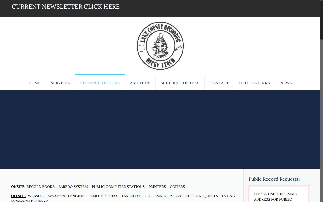
The access choices shown there explain why the AVA result, a registered search, and a Records Room request can produce different levels of detail.
See the Lake County Recorder office for the custodian and its public-records routes.
The Recorder is the official land-record custodian, while the Auditor and map systems provide the parcel keys that make a deed search more precise.
Trace Concord Township Past Owners Through Deeds
A deed chain is a backwards sequence through the same property, not a name-only search. Start with the present assessed owner and locate the acquisition instrument. In the index, the grantee is the party receiving an interest and the grantor is the party conveying it. The seller on one verified deed can become the next query, but only after the legal description and parcel continuity match.
- Save the current Auditor parcel ID, situs, legal description, assessment owner, and displayed mailing address.
- Use AVA or the Recorder counter to identify the present owner’s acquisition instrument. Record the document type, grantor, grantee, date, and instrument or book/page reference.
- Compare the document’s legal description with the parcel record. A person can convey more than one property, so the name alone is insufficient.
- Search the prior grantee’s acquisition record and repeat the comparison. Note trusts, survivorship affidavits, estate transfers, sheriff deeds, subdivisions, and lot changes as possible branches.
- If the web path stops, use the Records Room, Recorder request e-mail, or library and archive channels with the known legal-description clue and estimated period.
Note: The title trail stops when the next transfer cannot be tied to the same legal description or predecessor jurisdiction.
For source verification, use the Recorder’s official copy-fee schedule rather than a mailed offer for a deed copy.
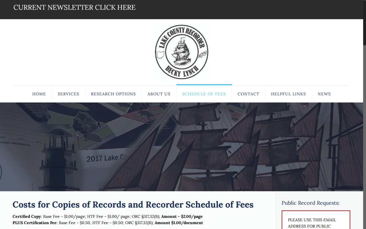
The official schedule helps distinguish a custodian copy request from an unsolicited service offering to obtain the same record.
Concord Township Past Residents Atlas Snapshots
Morley’s atlas holdings are a strong house-history layer, not a substitute deed chain. The library says the 1840 and 1857 Lake County atlases are indexed and directs researchers to Lake County GIS for 1874, 1898, and 1915 material. An atlas label can supply a landowner or parcel-context snapshot at the map date. It cannot establish the date of a conveyance, a building’s completion, or a continuous household record.
Compare roads, parcel shapes, and legal descriptions carefully. Modern subdivisions and reformatted roads can break visual continuity. The atlas route is especially useful when a deed reference needs a period map context, or when an earlier listed address does not resemble the present postal form. Morley’s historic atlas page is the source for those named local holdings.
Pair Concord Township Past Residents by Year
Directories supply the household layer that deeds do not. Morley’s Haines & Co. Lake-Geauga criss-cross run begins in 1976, includes 1977, 1981–87, 1989, and continues from 1991 onward. The Painesville directory series expressly includes Concord Township from 2000 onward. For a listed address, look up the alphabetic entry in the same volume, record the exact year and entry type, and then compare an adjacent available volume rather than assuming an uninterrupted annual sequence.
- Find the address in an available Haines criss-cross volume or a street section.
- Read the matching alphabetic entry in that year’s volume and use its own key for abbreviations.
- Move backward or forward through the next available volume, allowing for spelling and road-form differences.
- Pair a directory year with Morley’s Ohio census indexes where the period fits, remembering that census material is a dated household snapshot.
- Test any change against the parcel, deed, atlas, obituary, or probate evidence before treating it as a household transition.
Morley holds indexed Ohio census material for 1820–1860 and 1880, plus newspapers, cemetery inscriptions, local church records, and other local-history collections. The directory holdings themselves are described on the Concord Township city directory resource, while this address trail uses them only as dated evidence.
Concord Township Past Residents Endpoints
When a name disappears from the address trail, the next source depends on the question. Morley’s obituary index covers Lake County death notices in the Painesville Telegraph from July 16, 1822 through April 30, 1986, and the News-Herald from March 25, 1986 through September 30, 2019. A death notice is a lead to an original source, not proof that a person remained at an address until death.
Probate matters can add estate and guardianship context, and the Lake County Probate Court provides an official guide to historical county marriage research. Cemetery, church, and death-record material may close a family-history lead when the evidence names the correct person and period. Keep an estate file, a cemetery record, and an address directory as distinct source types.
Consult the Probate Court’s historical marriage-record guide when a family-history trail requires that official route.
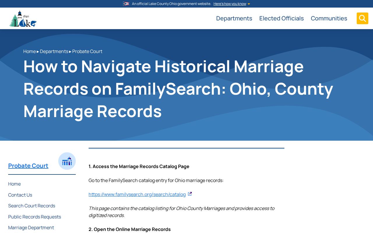
The guide is a separate event-record path and should not be used to turn a marriage result into an unsupported address conclusion.
Concord Township Past Residents Before Lake County
Older Concord records can appear to vanish when a search starts and ends in Lake County. Concord was part of Geauga County from 1805, was separated from Painesville Township in 1822, and joined the new Lake County in 1840. Lake County’s Recorder history likewise begins with the county’s 1840 establishment. For a pre-1840 land or court question, preserve the available legal description, place wording, and date, then move into the appropriate Geauga County or Western Reserve context.
This jurisdiction shift is the documented archival transition. No official source located a Lake County courthouse-fire loss that would explain a broad destroyed-record period. The sound response to a gap is to consult the Recorder, Morley, Ohio History Connection, historical atlases, and the predecessor jurisdiction as appropriate, not to invent continuity.
Limits on Concord Township Past Residents
Previous-resident research is not a way to reconstruct every private household connection. A parcel roll identifies an assessed owner, and a directory shows only a dated listed entry. Records can have gaps, changed formats, protected details, or names shared by different people. Use source-specific language such as “assessed owner,” “recorded grantee,” or “directory listing” rather than turning a single record into a claim about who lived at an address.
The Recorder’s free Property Fraud Alert is a useful records-safety feature. It is an early warning by monitored name, not proof of fraud, a title guarantee, or a reason to accuse someone. Verify the actual instrument and legal description with the custodian.
Learn about the Lake County Property Fraud Alert before enrolling a monitored name.
The alert is most useful when it leads back to a dated Recorder instrument and careful verification of the property description.